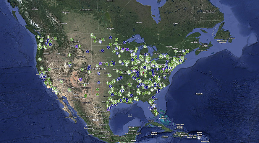
Click here or on the map below to see whether there has been a chemical incident reported in your area since January 1, 2021.
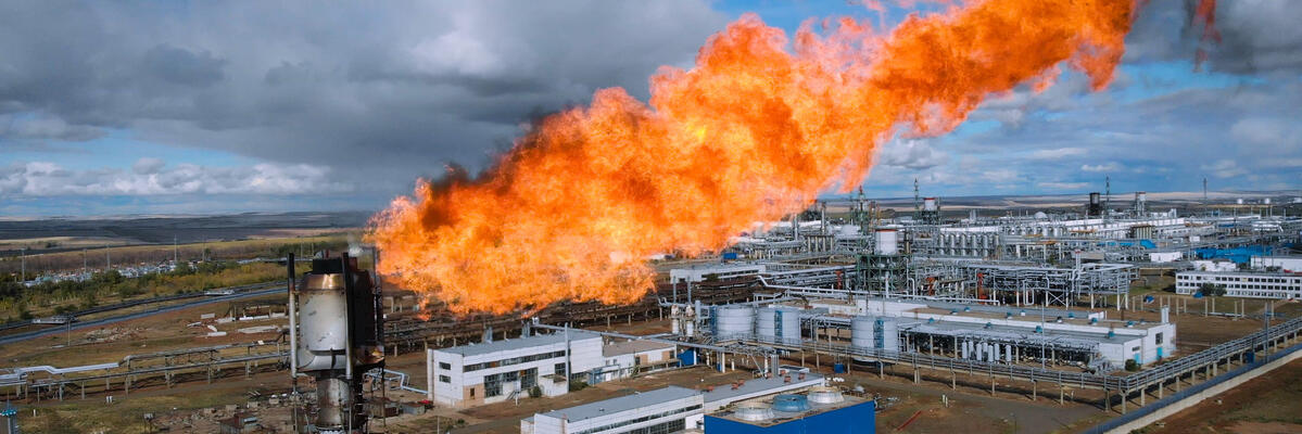
This map shows hazardous chemical incidents, including chemical releases, fires and, explosions, that have been reported in the local, trade and national news. New incidents are added to this map on a weekly basis.
HOW TO USE THE MAP
When you click on the map above, it will open a new browser window showing a live Google map of incidents our coalition has tracked from news reports since January 1, 2021, for which accurate location information is available.
Click on any icon on the map to learn about a specific incident, or click the magnifying glass icon to search for keywords, company names or locations.
Some, but not all, of these incidents occurred at facilities that are regulated by the Environmental Protection Agency’s (EPAs) Risk Management Program (RMP) rule. To see whether an incident occurred an an RMP facility, deselect the first checkbox and select the layer "did this incident occur at a facility covered by the RMP?".